We show that the GPS tags contained in photo metadata provide a useful control signal for image generation. We train GPS-to-image models and use them for tasks that require a fine-grained understanding of how images vary within a city. In particular, we train a diffusion model to generate images conditioned on both GPS and text. The learned model generates images that capture the distinctive appearance of different neighborhoods, parks, and landmarks. We also extract 3D models from 2D GPS-to-image models through score distillation sampling, using GPS conditioning to constrain the appearance of the reconstruction from each viewpoint. Our evaluations suggest that our GPS-conditioned models successfully learn to generate images that vary based on location, and that GPS conditioning improves estimated 3D structure.
(a) After downloading geotagged photos, we train GPS-to-image diffusion models conditioned on GPS tags and image captions. GPS tags are extracted from the image EXIF metadata, captions are provided by BLIP-3. The obtained GPS-to-image diffusion model can generate images using both conditioning signals (GPS and text) in a compositional manner. (b) We can also extract 3D models from landmark-specific angle-to-image diffusion models using score distillation sampling. ''+'' in the figure means we concatenate GPS embeddings and text embeddings.

(a) GPS-to-image generation (b) GPS-to-3D reconstruction
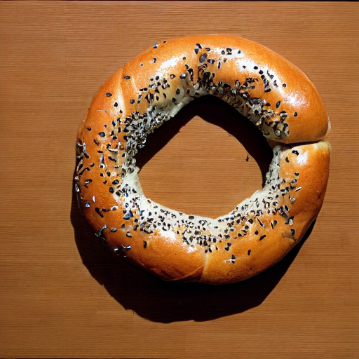
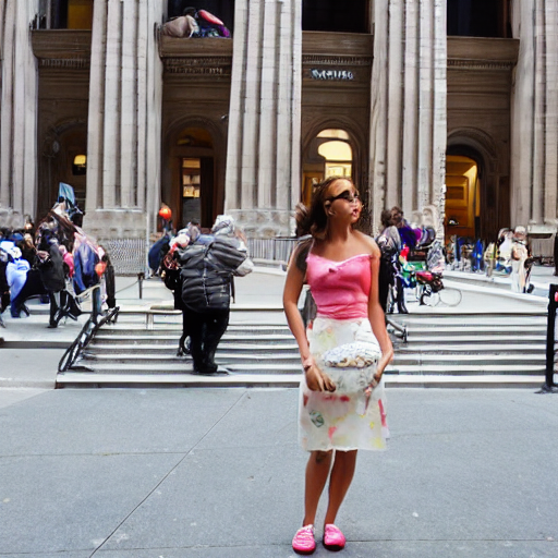
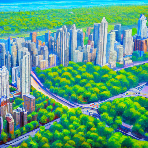
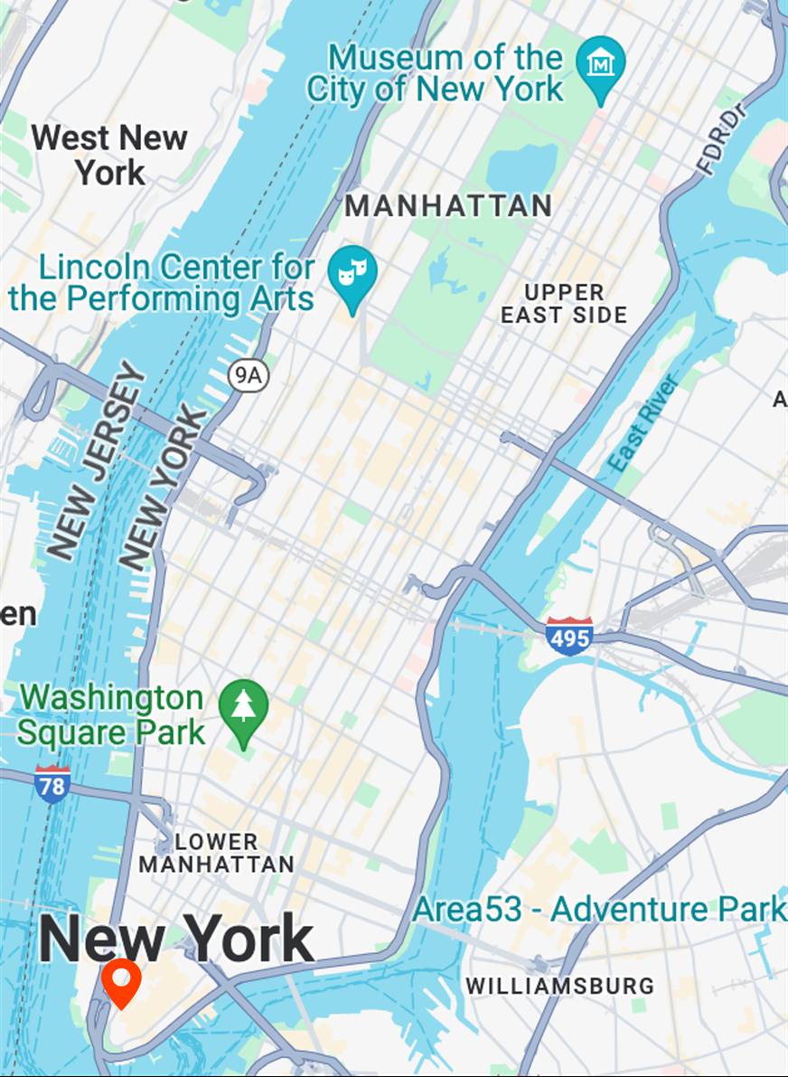
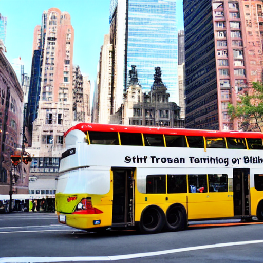
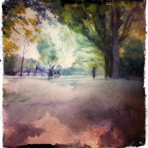
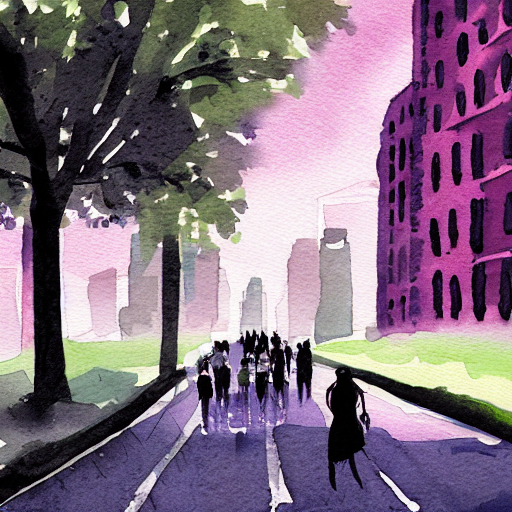
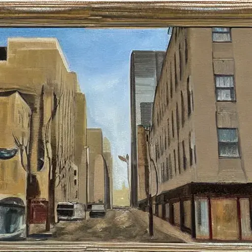
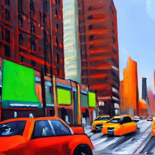
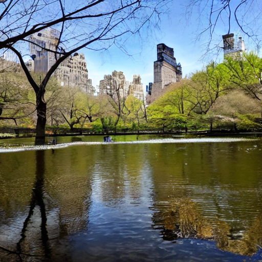
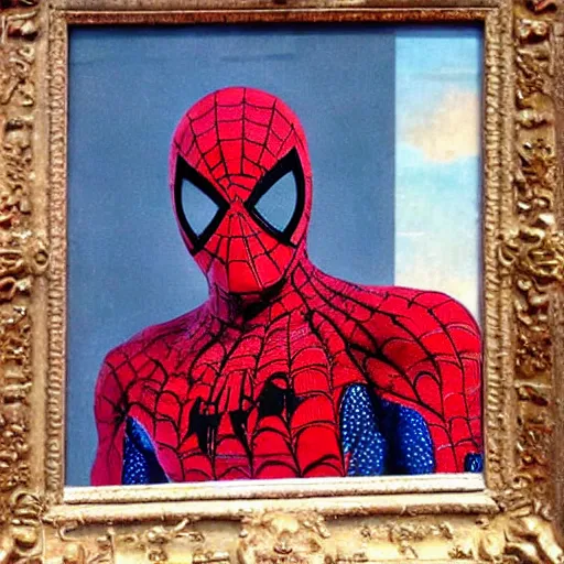
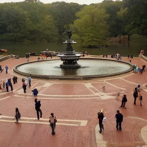
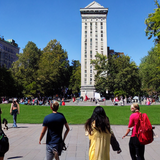
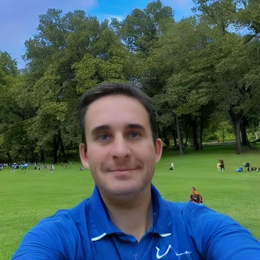
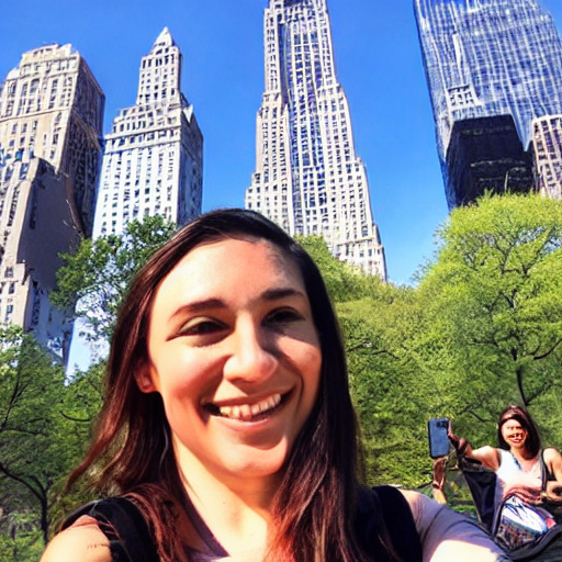
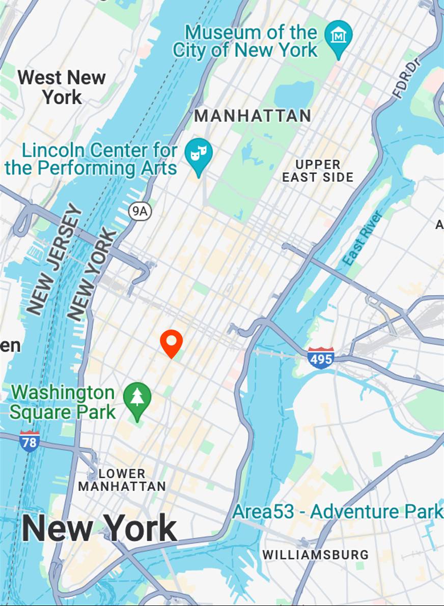
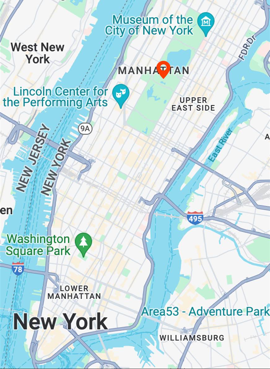
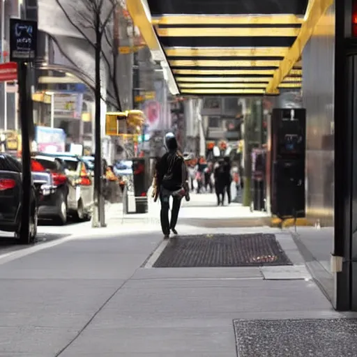
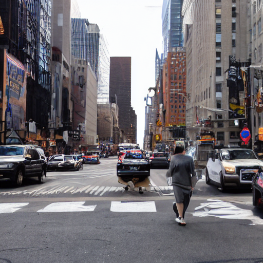
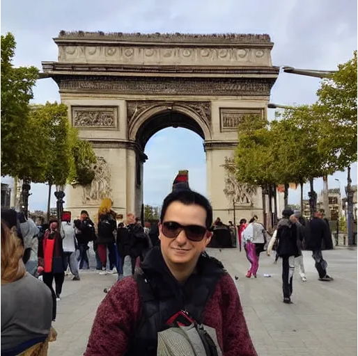
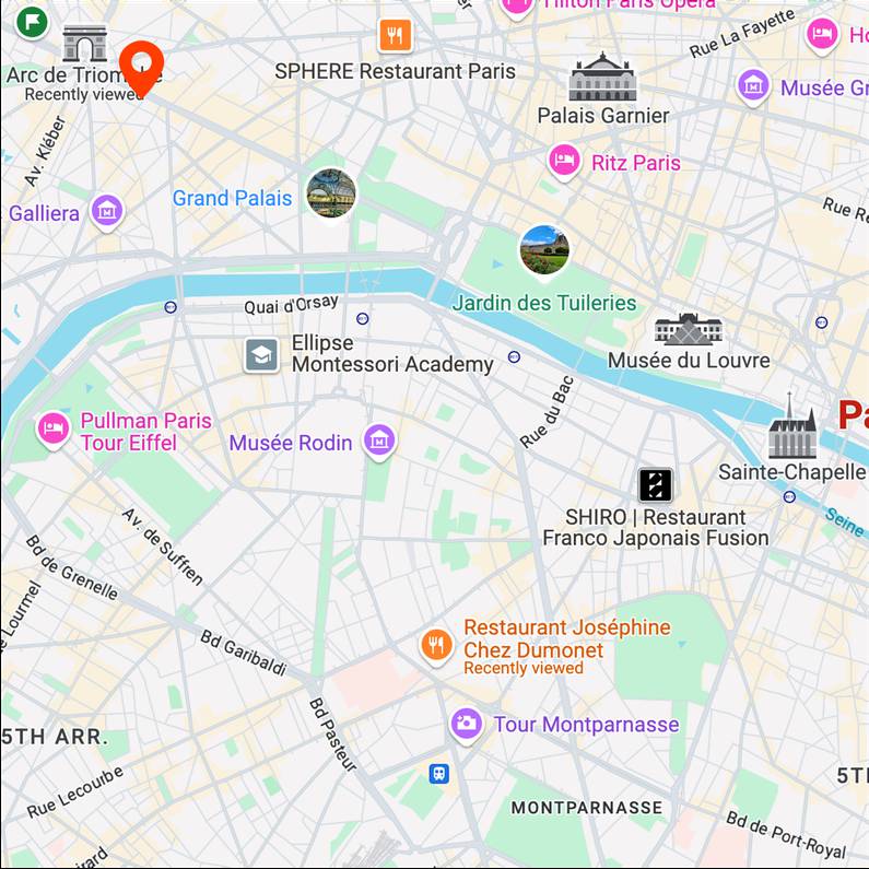
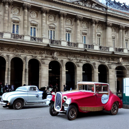
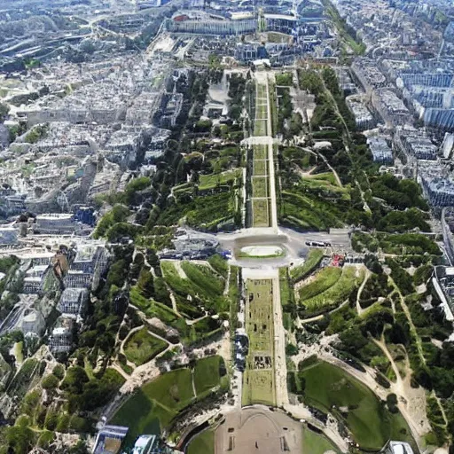
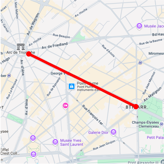
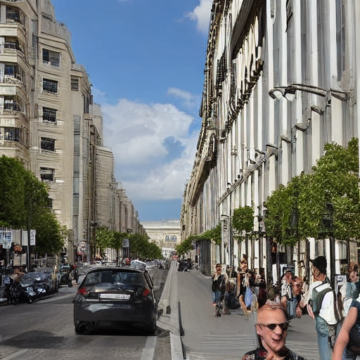
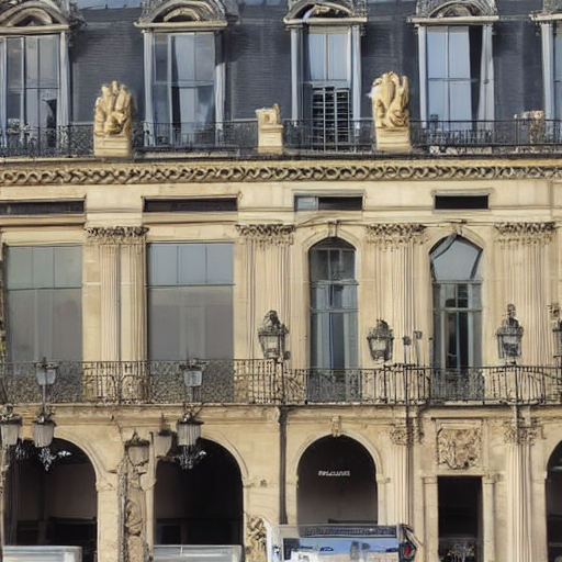
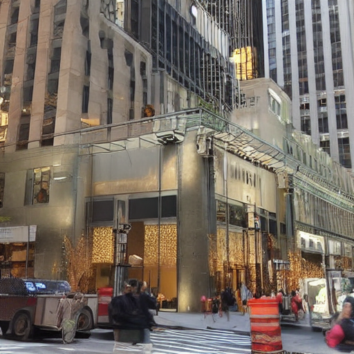
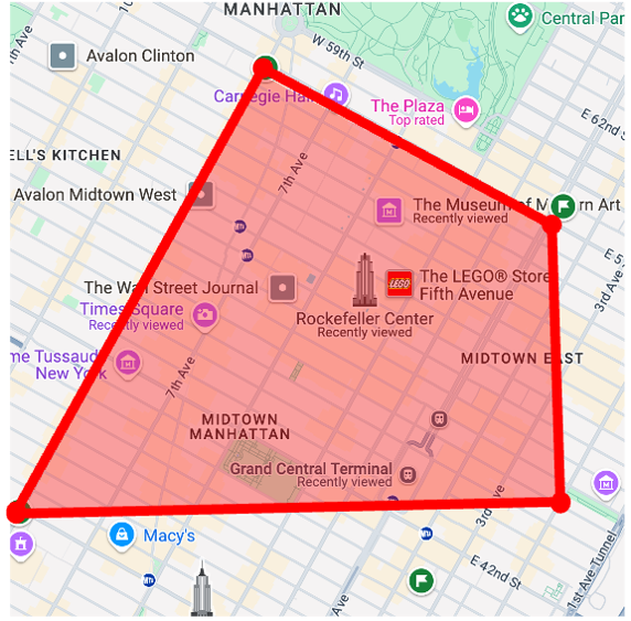
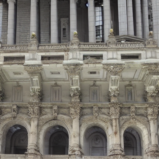
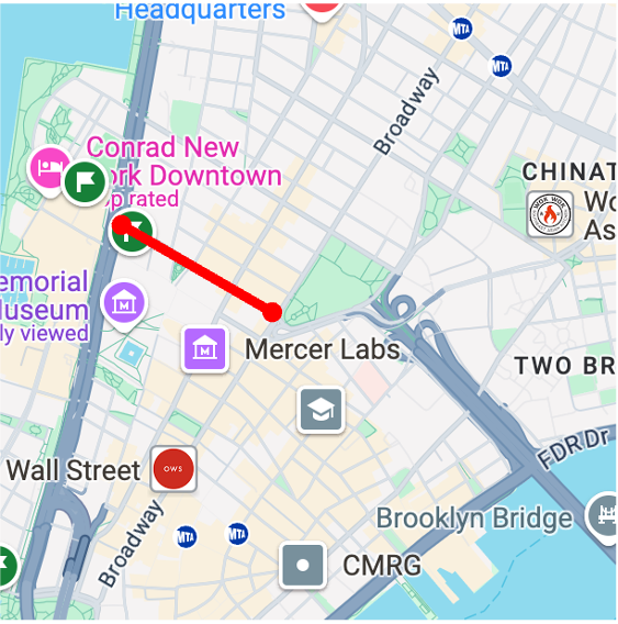
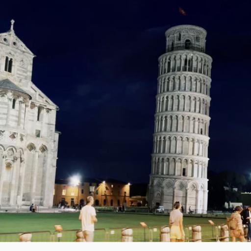
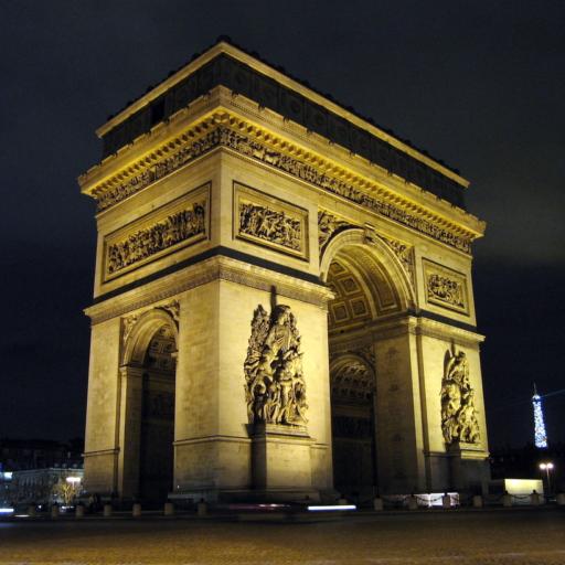
Our GPS-to-image model can compose text prompts (optional) and GPS coordinates as conditions to generate corresponding images. Here, we show generated results compared with the pretrained text-to-image model (SD-v1.4) with location text prompts on two well-known areas: New York City and Paris.
New York City
bagel
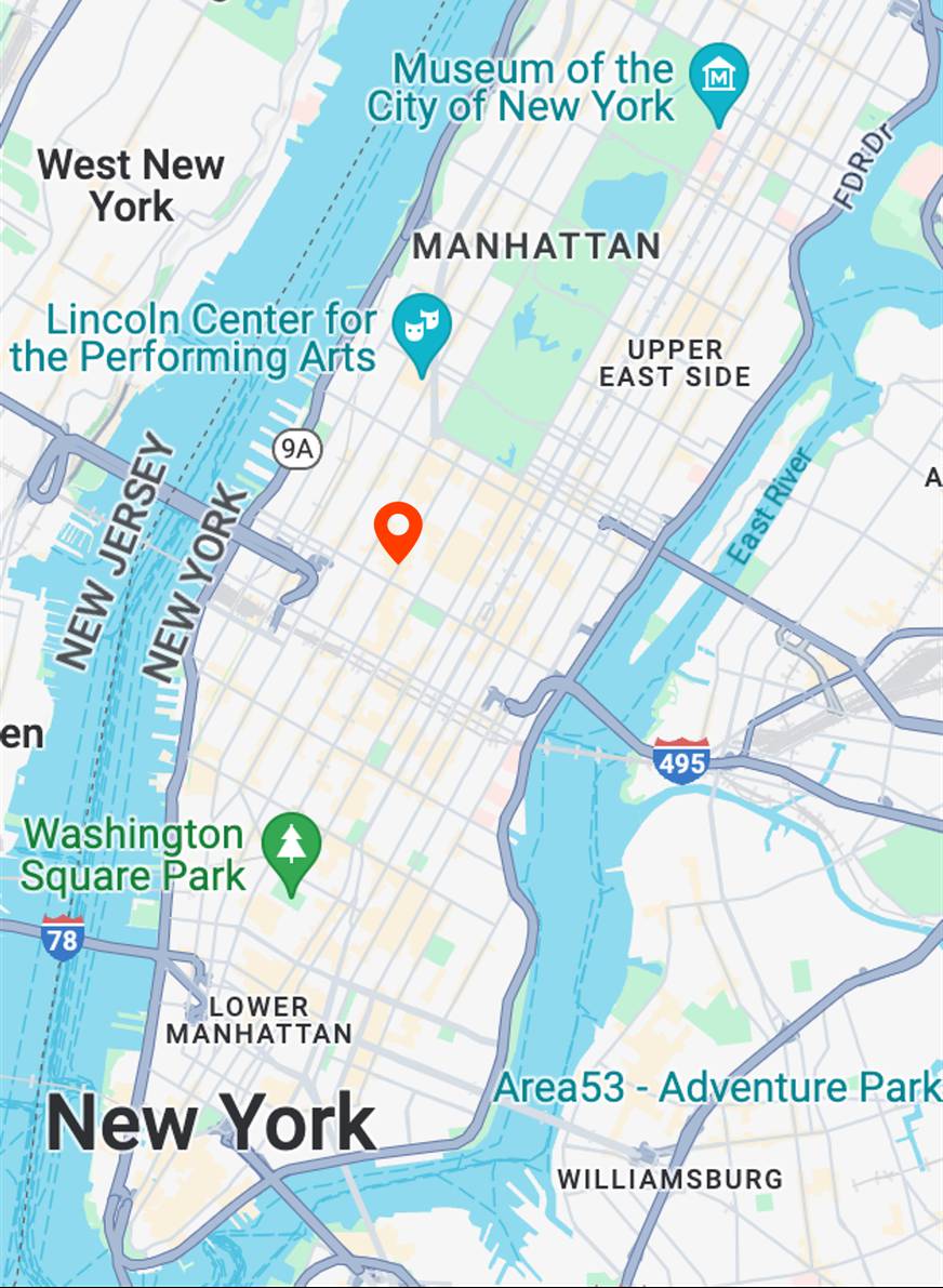
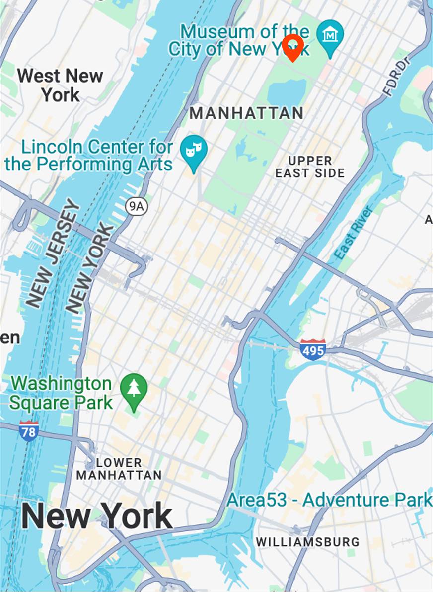
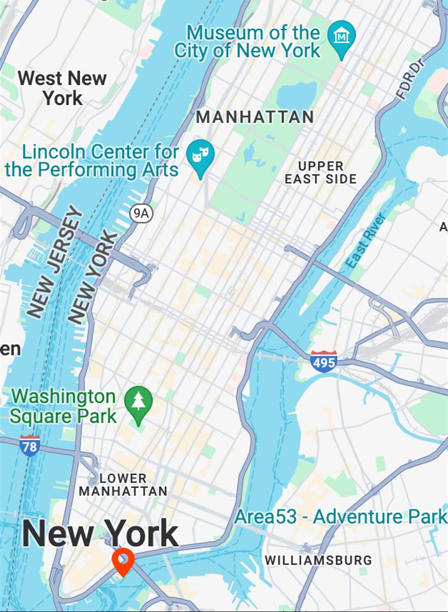
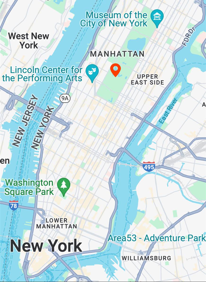
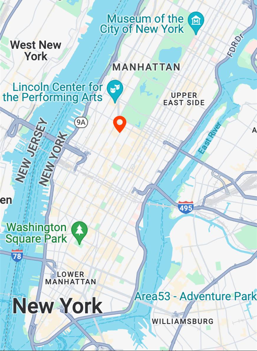
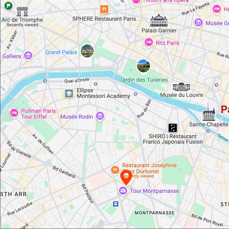
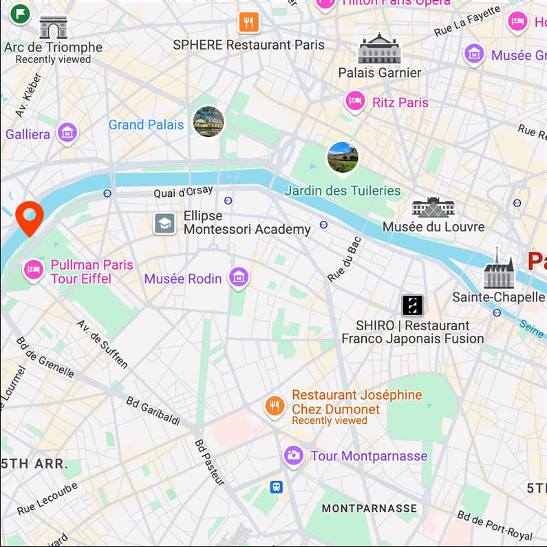
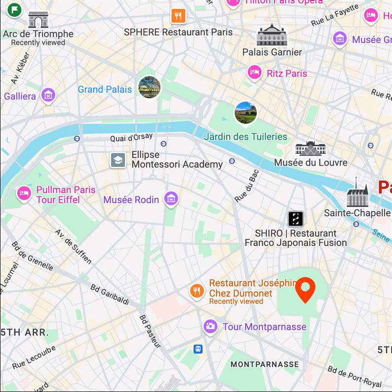
Map View
[...] + GPS tag
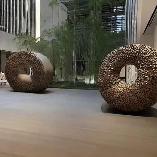
Ours
[...] + in MoMA
Text-to-image
bagel

Map View
[...] + GPS tag

Ours
[...] + in Metropolitan Museum of Art
Text-to-image
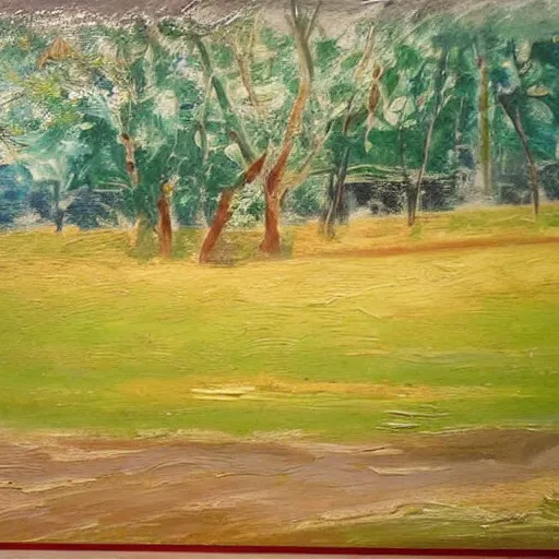
aerial view in oil painting style
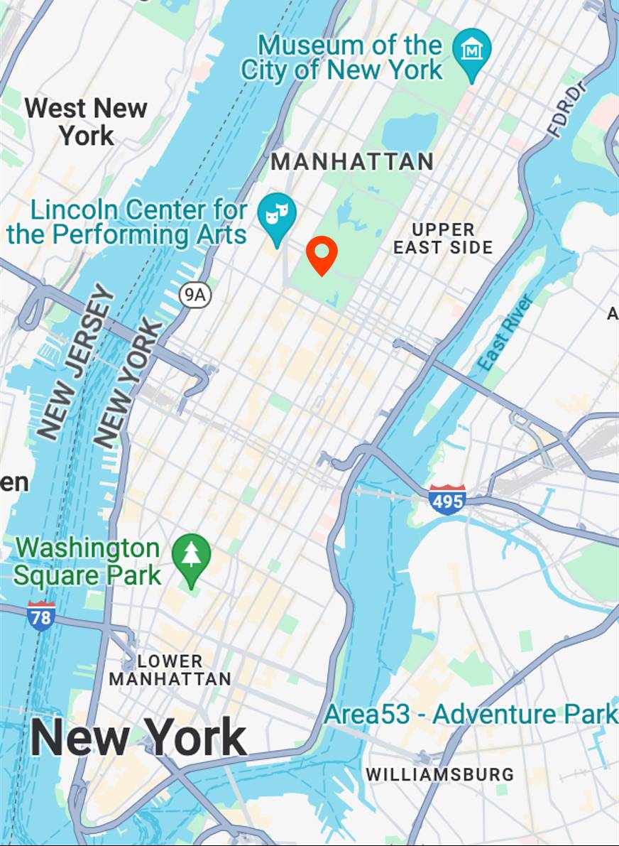
Map View
[...] + GPS tag

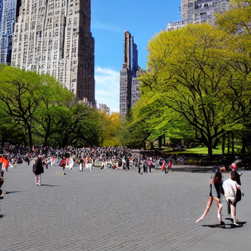
Ours
[...] + in Central Park
Text-to-image
tiger
Map View
[...] + GPS tag
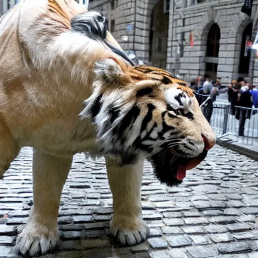
Ours
[...] + in Financial District
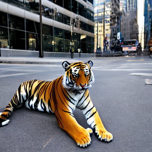
Text-to-image
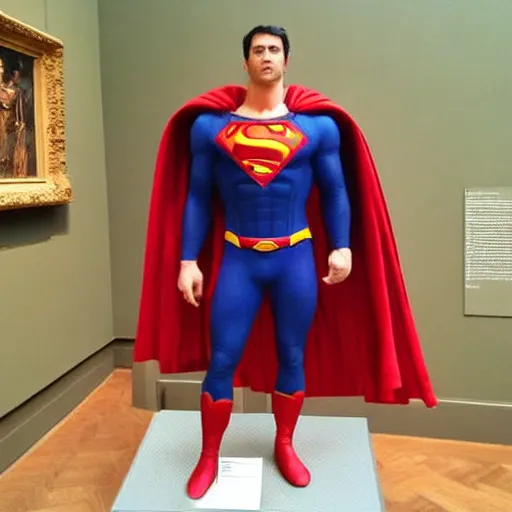
superman

Map View
[...] + GPS tag

Ours
[...] + in Metropolitan Museum of Art
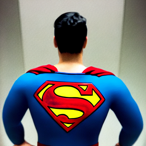
Text-to-image
superman
Map View
[...] + GPS tag

Ours
[...] + in Time Square
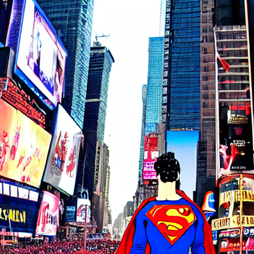
Text-to-image
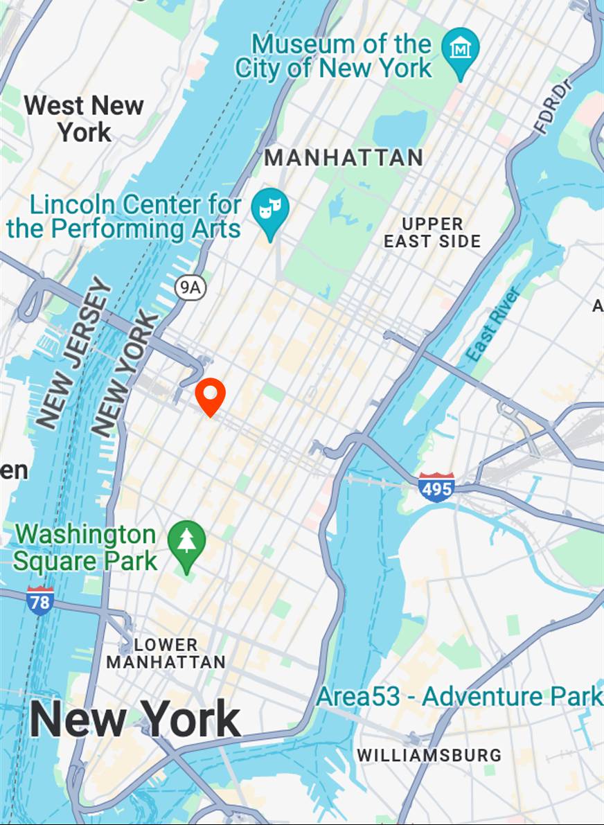
superman

Map View
[...] + GPS tag
Ours
[...] + in Metropolitan Museum of Art
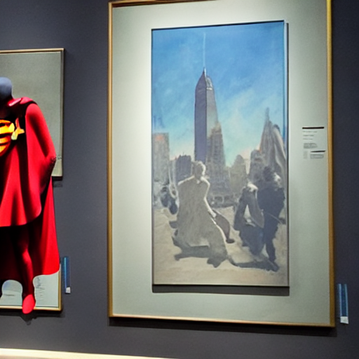
Text-to-image
apple event
Map View
[...] + GPS tag
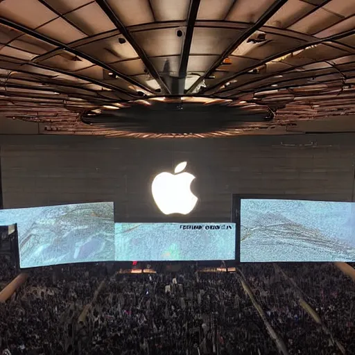
Ours
[...] + in Madison Square Garden
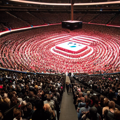
Text-to-image
street view in acrylic painting style
Map View
[...] + GPS tag
Ours
[...] + in Central Park
Text-to-image
tourist bus
Map View
[...] + GPS tag
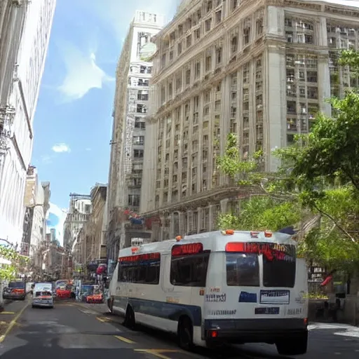
Ours
[...] + in Lower Manhattan
Text-to-image
street view in watercolor painting style

Map View
[...] + GPS tag
Ours
[...] + in Central Park
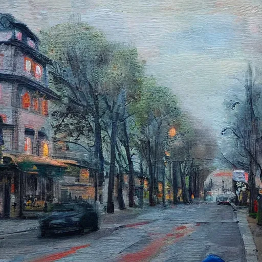
Text-to-image
street view in oil painting style

Map View
[...] + GPS tag
Ours
[...] + in Manhattan Midtown
Text-to-image
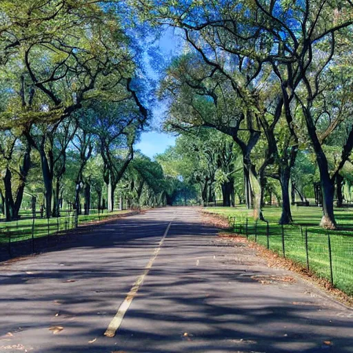
spring

Map View
[...] + GPS tag
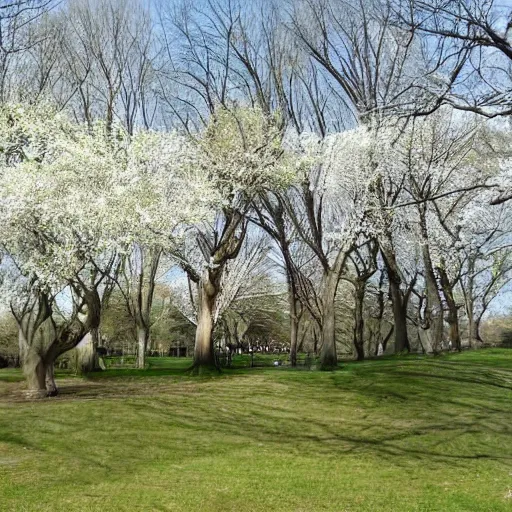
Ours
[...] + in Central Park
Text-to-image
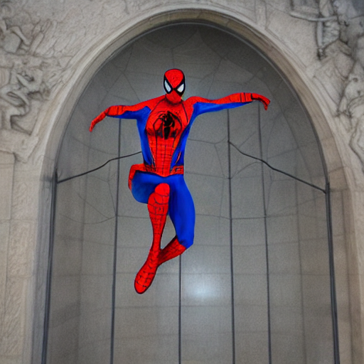
spiderman

Map View
[...] + GPS tag
Ours
[...] + in Metropolitan Museum of Art
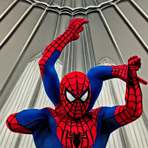
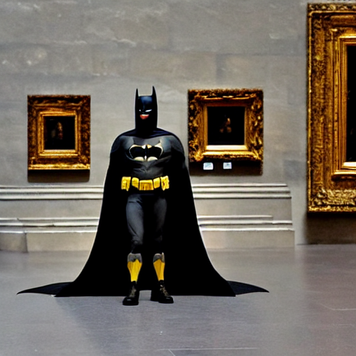
Text-to-image
batman

Map View
[...] + GPS tag
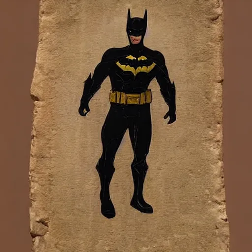
Ours
[...] + in Metropolitan Museum of Art
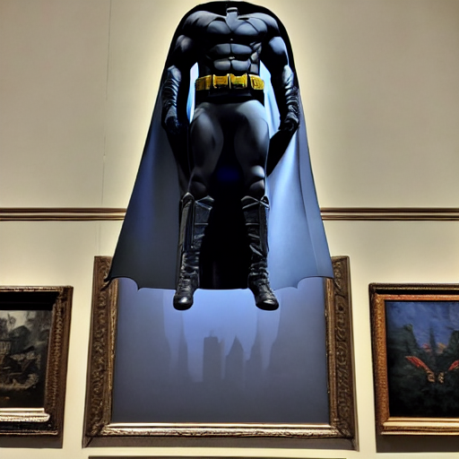
Text-to-image
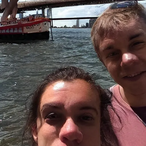
boat

Map View
[...] + GPS tag
Ours
[...] + in Central Park
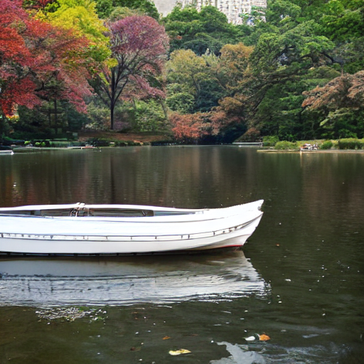
Text-to-image
rubber duck

Map View
[...] + GPS tag
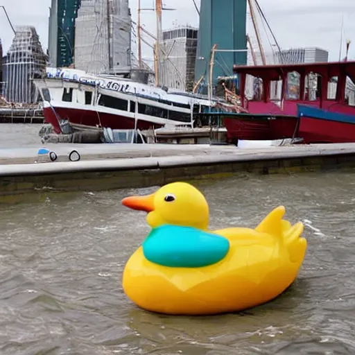
Ours
[...] + in The Seaport of New York City
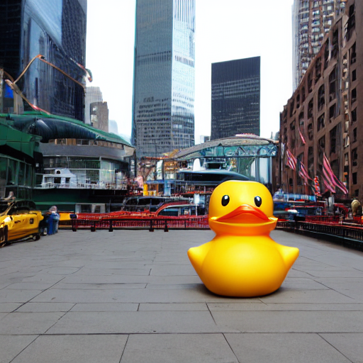
Text-to-image
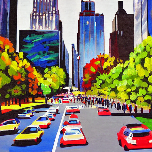
yellow cab

Map View
[...] + GPS tag
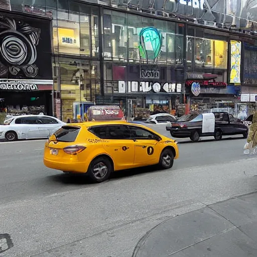
Ours
[...] + in Manhattan Midtown
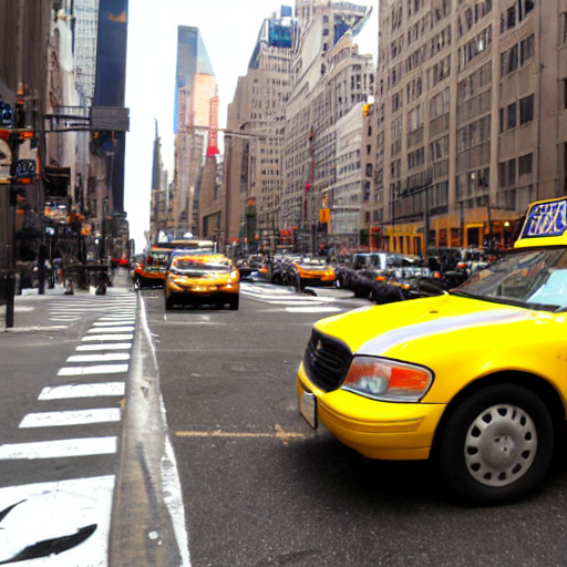
Text-to-image
sunshine

Map View
[...] + GPS tag
Ours
[...] + in Central Park
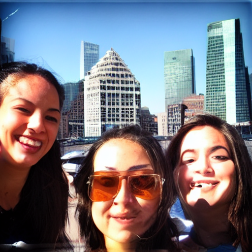
Text-to-image
selfie
Map View
[...] + GPS tag
Ours
[...] + in The Seaport of New York City
Text-to-image
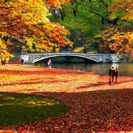
aerial view
Map View
[...] + GPS tag
Ours
[...] + in Central Park
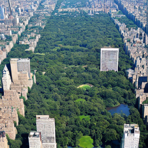
Text-to-image
tourists

Map View
[...] + GPS tag
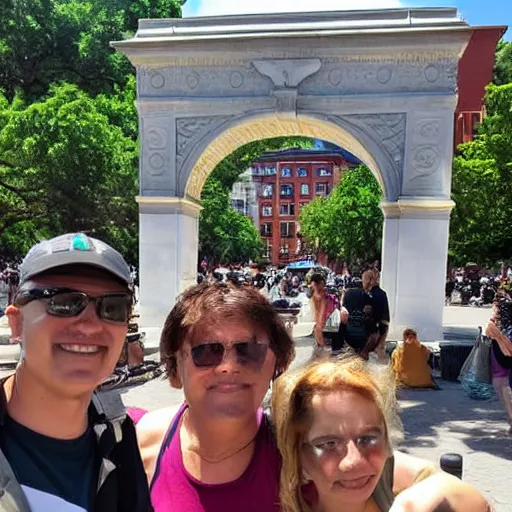
Ours
[...] + in Washington Square Park
Text-to-image
selfie
Map View
[...] + GPS tag
Ours
[...] + in Central Park
Text-to-image
selfie
Map View
[...] + GPS tag
Ours
[...] + in Manhattan Midtown
Text-to-image
snowing
Map View
[...] + GPS tag
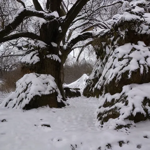
Ours
[...] + in Central Park

Text-to-image
autumn

Map View
[...] + GPS tag
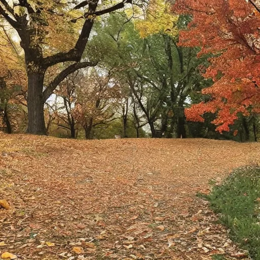
Ours
[...] + in Central Park
Text-to-image
pedestrian
Map View
[...] + GPS tag
Ours
[...] + in Manhattan Midtown
Text-to-image
aerial view

Map View
[...] + GPS tag
Ours
[...] + in Manhattan Midtown
Text-to-image
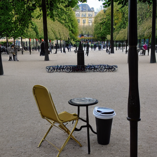
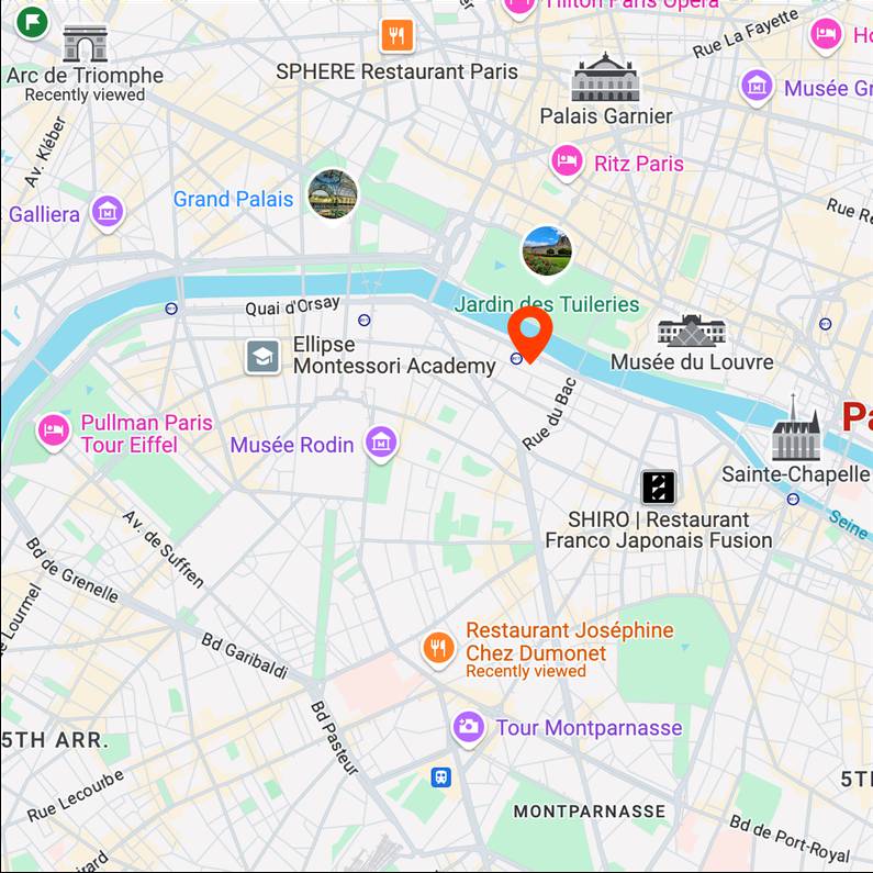
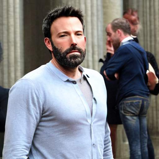
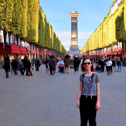
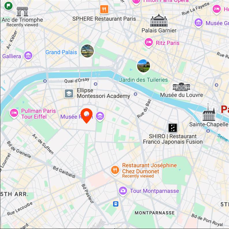
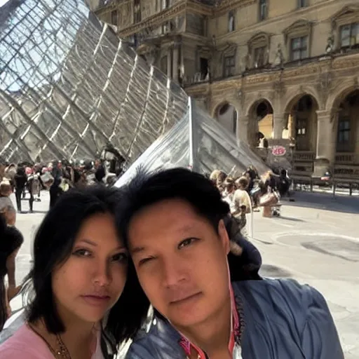
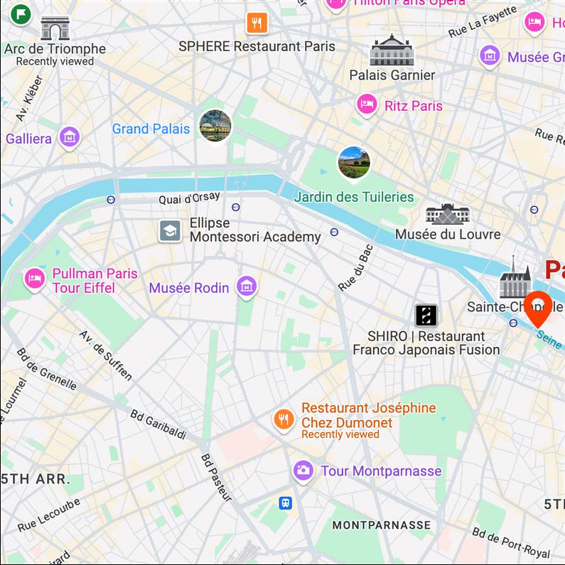
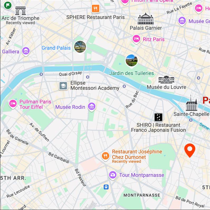
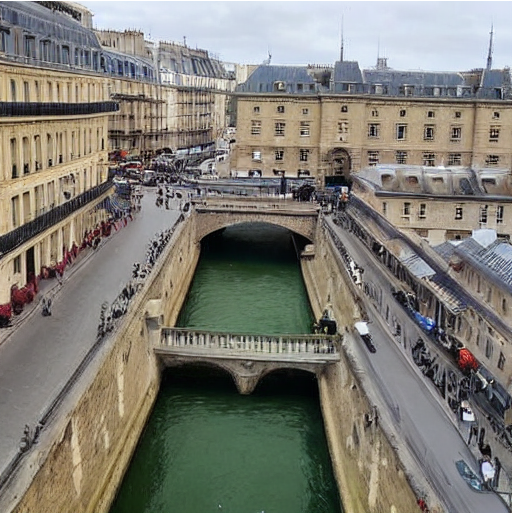
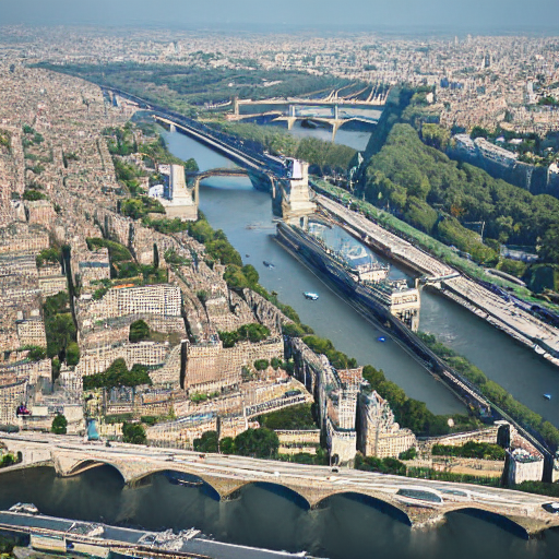
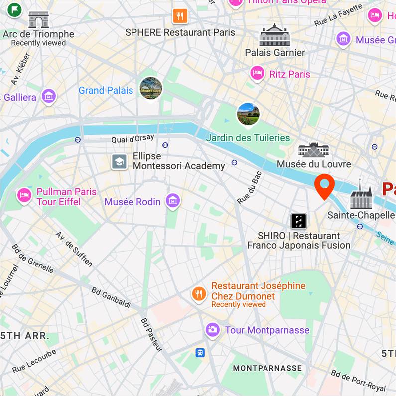
Paris
batman
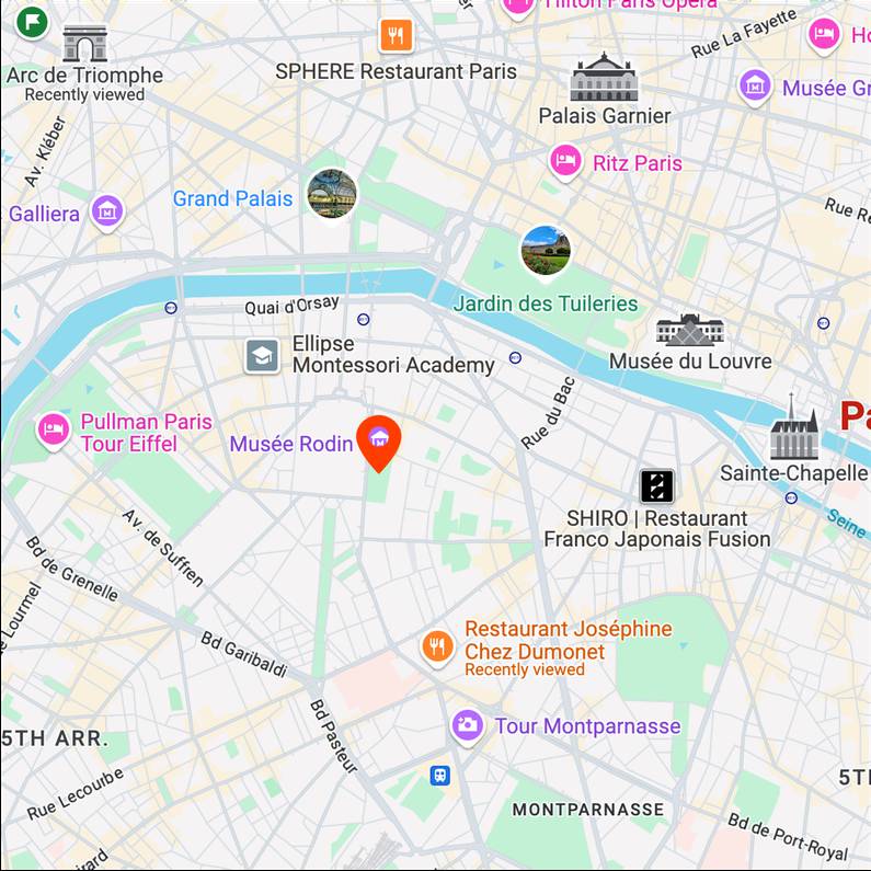
Map View
[...] + GPS tag
Ours
[...] + in Rodin Museum
Text-to-image
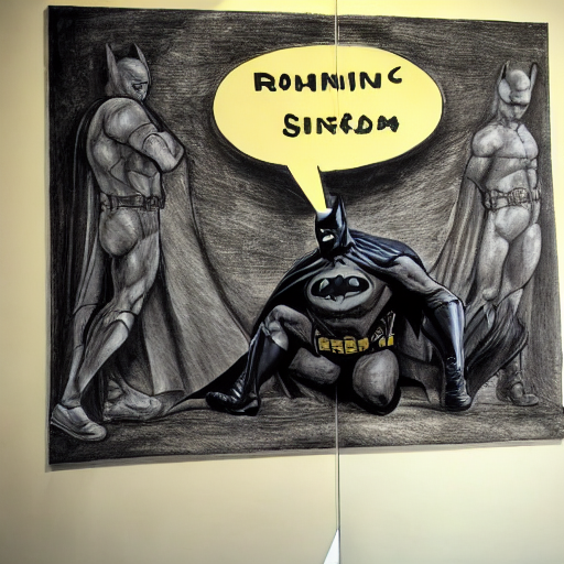
spiderman

Map View
[...] + GPS tag
Ours
[...] + in Rodin Museum
Text-to-image
street view in oil painting style
Map View
[...] + GPS tag
Ours
[...] + in 6th arrondissement
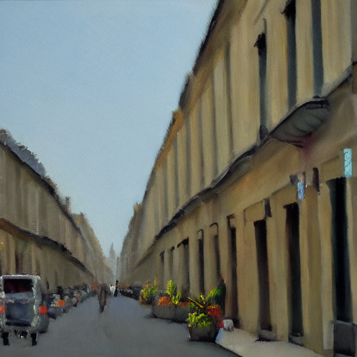
Text-to-image
a cup of coffee
Map View
[...] + GPS tag
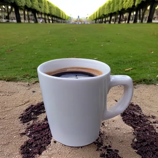
Ours
[...] + in Luxembourg Garden
Text-to-image
computer scientist

Map View
[...] + GPS tag
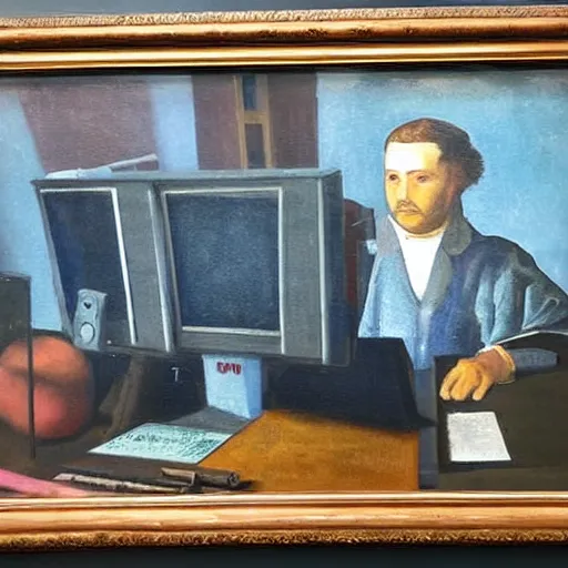
Ours
[...] + in Orsay Museum

Text-to-image
Ben Affleck
Map View
[...] + GPS tag
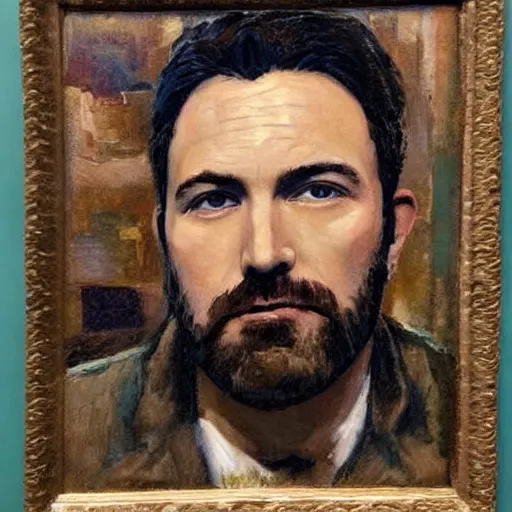
Ours
[...] + in Orsay Museum
Text-to-image
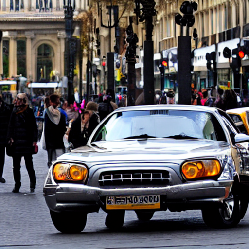
tourist

Map View
[...] + GPS tag
Ours
[...] + in Champs-Élysées
Text-to-image
car
Map View
[...] + GPS tag
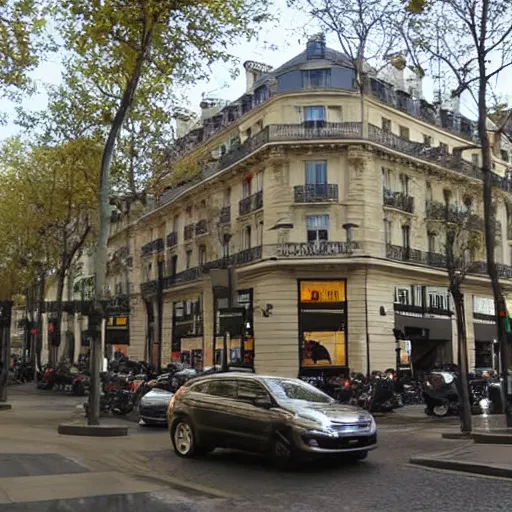
Ours
[...] + in Champs-Élysées
Text-to-image
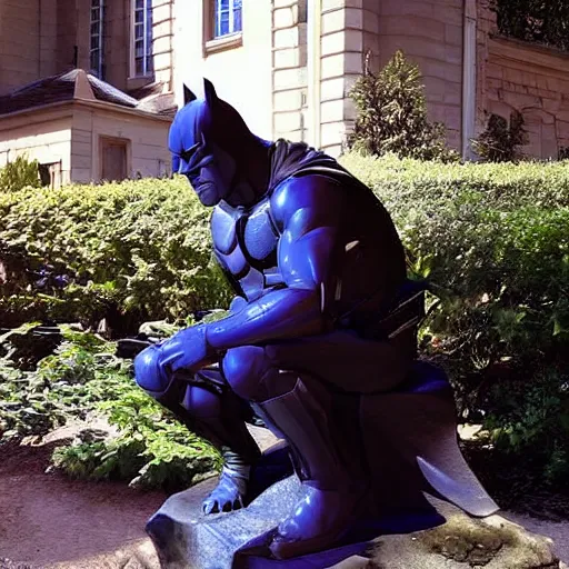
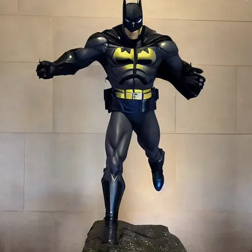
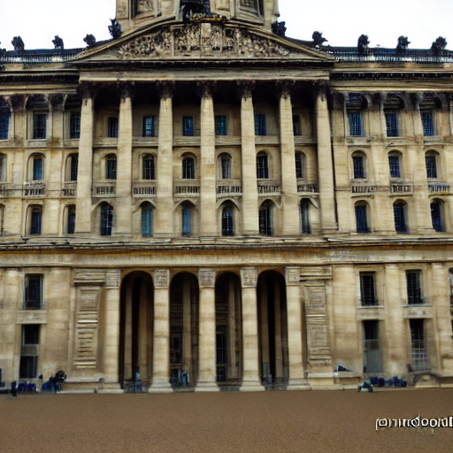
batman

Map View
[...] + GPS tag
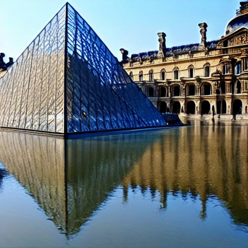
Ours
[...] + in Louvre Museum
Text-to-image
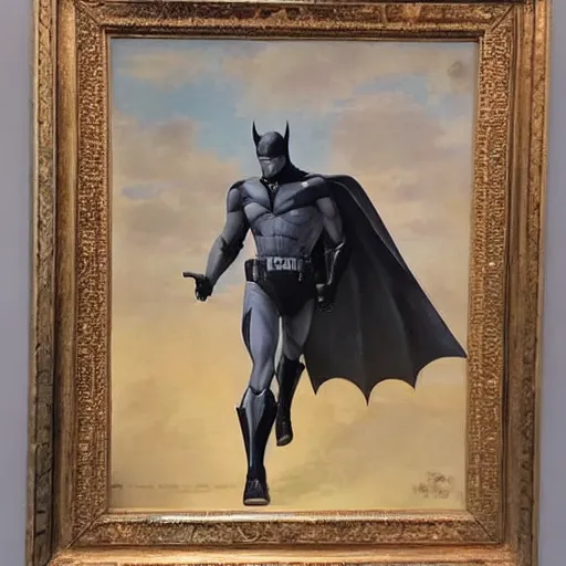
batman
Map View
[...] + GPS tag
Ours
[...] + in Louvre Museum
Text-to-image
breakfast

Map View
[...] + GPS tag
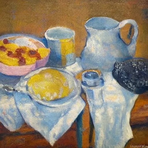
Ours
[...] + in Orsay Museum
Text-to-image
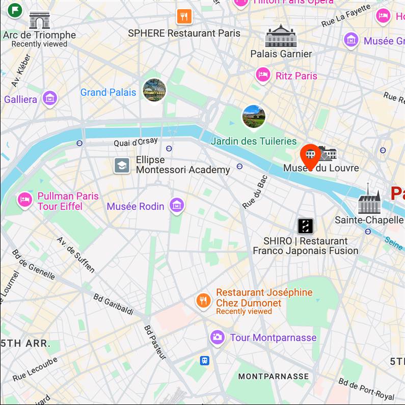
seine

Map View
[...] + GPS tag
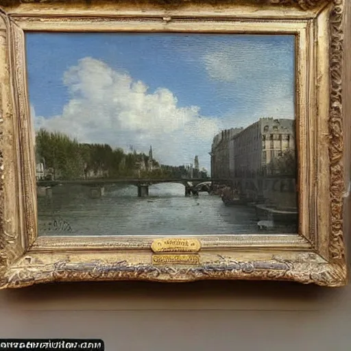
Ours
[...] + in Louvre Museum
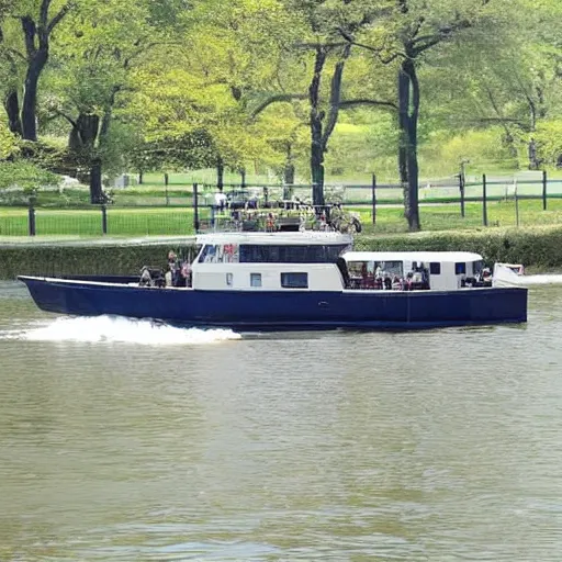
Text-to-image
boat
Map View
[...] + GPS tag
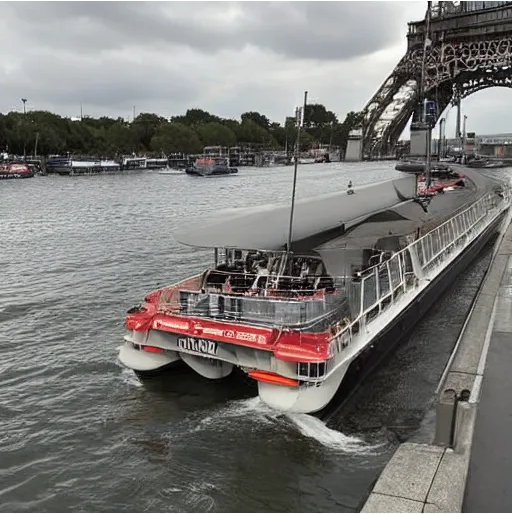
Ours
[...] + in Seine
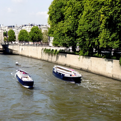
Text-to-image
cloudy
Map View
[...] + GPS tag
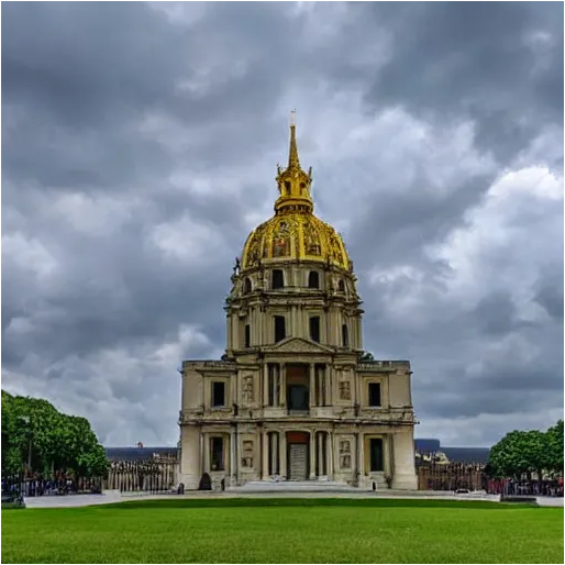
Ours
[...] + in Les Invalides
Text-to-image
selfie
Map View
[...] + GPS tag
Ours
[...] + in Louvre Museum
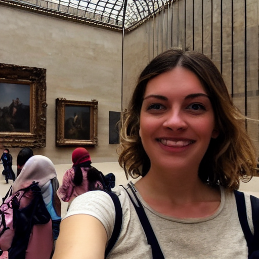
Text-to-image
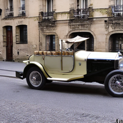
vintage car
Map View
[...] + GPS tag
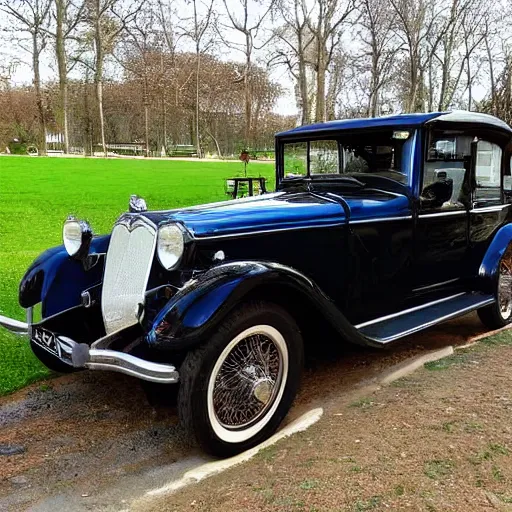
Ours
[...] + in 15th arrondissement
Text-to-image
afternoon tea
Map View
[...] + GPS tag
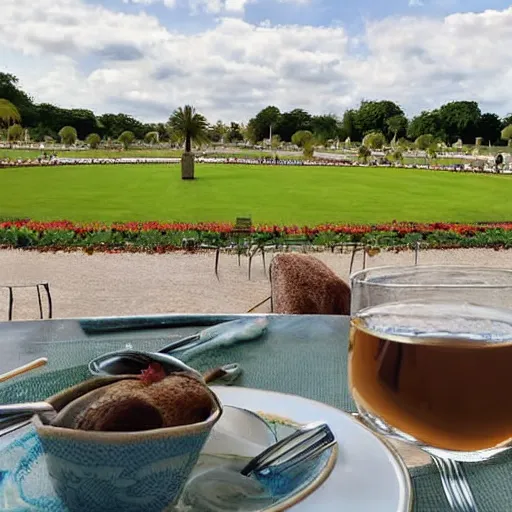
Ours
[...] + in Luxembourg Garden
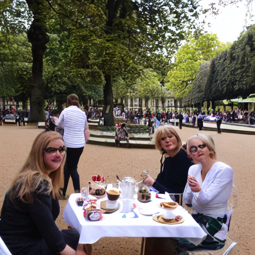
Text-to-image
selfie
Map View
[...] + GPS tag
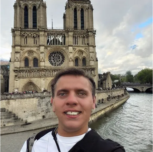
Ours
[...] + in Notre Dame Cathedral
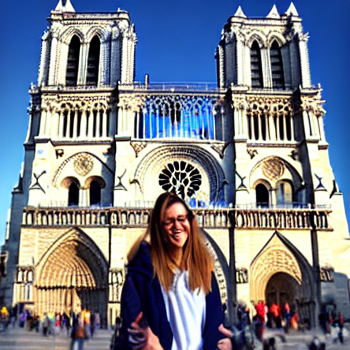
Text-to-image
building
Map View
[...] + GPS tag
Ours
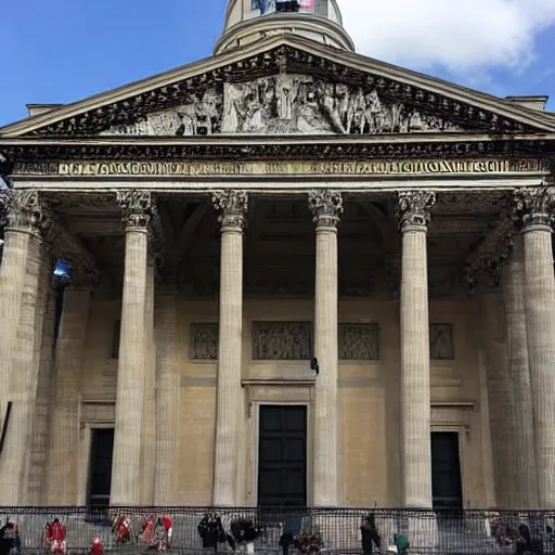
[...] + in Panthéon

Text-to-image
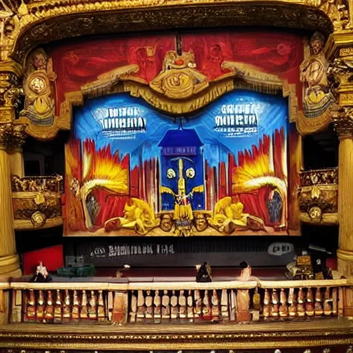
musicals

Map View
[...] + GPS tag
Ours
[...] + in Paris Opera
Text-to-image
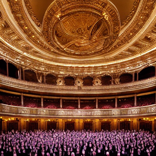
aerial view
Map View
[...] + GPS tag
Ours
[...] + in Seine
Text-to-image
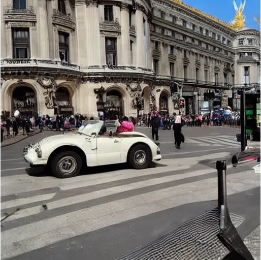
vintage car
Map View
[...] + GPS tag
Ours
[...] + in Paris Opera
Text-to-image
aerial view
Map View
[...] + GPS tag
Ours
[...] + in Eiffel Tower
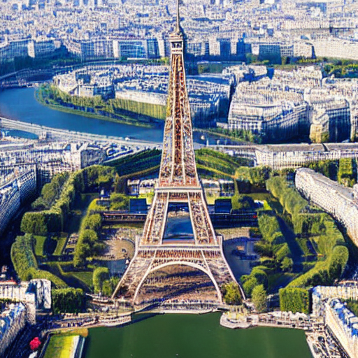
Text-to-image
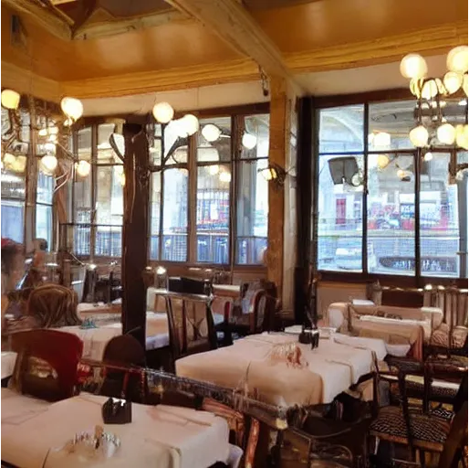
restaurant
Map View
[...] + GPS tag
Ours
[...] + in Quai de Conti

Text-to-image
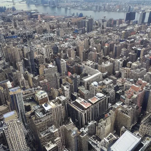
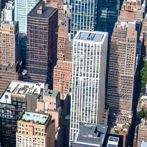
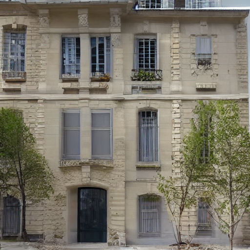
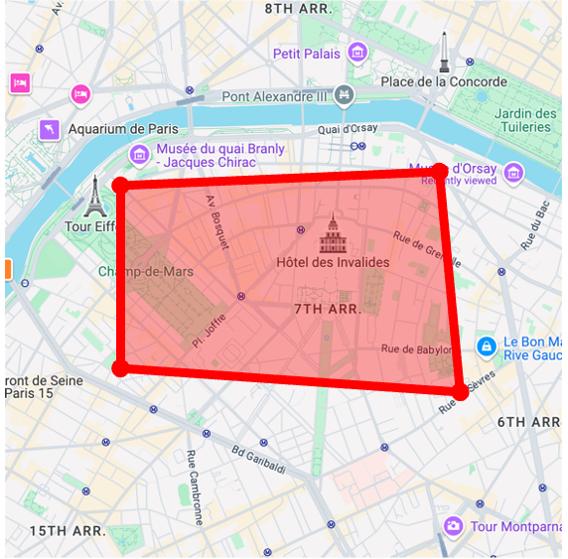
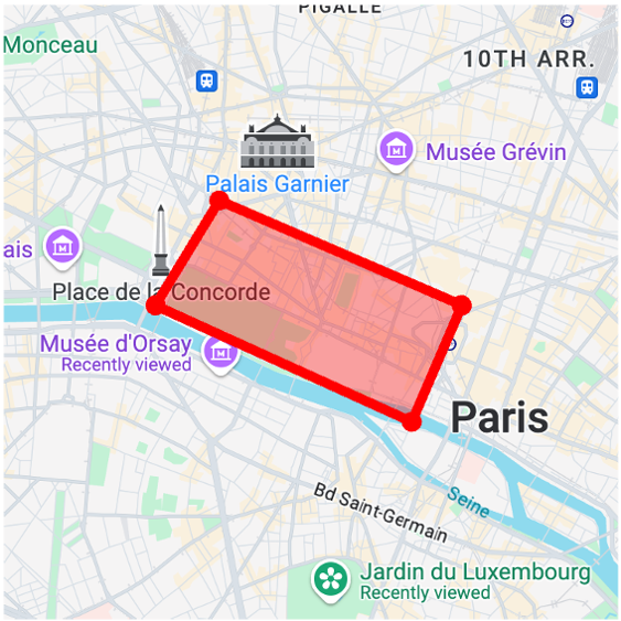
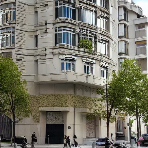
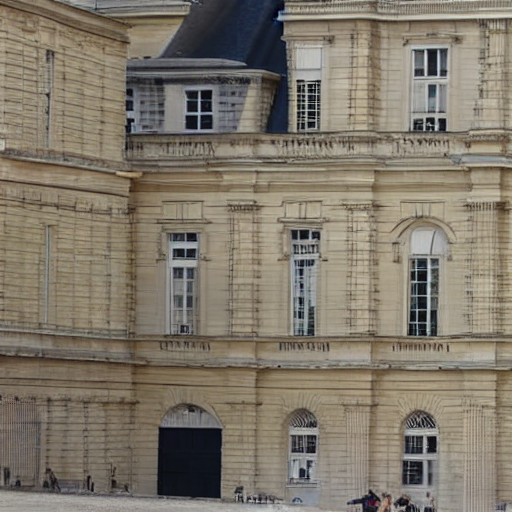
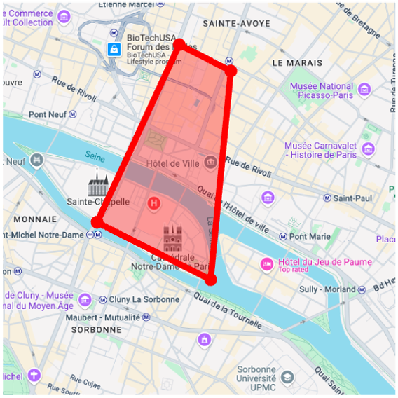
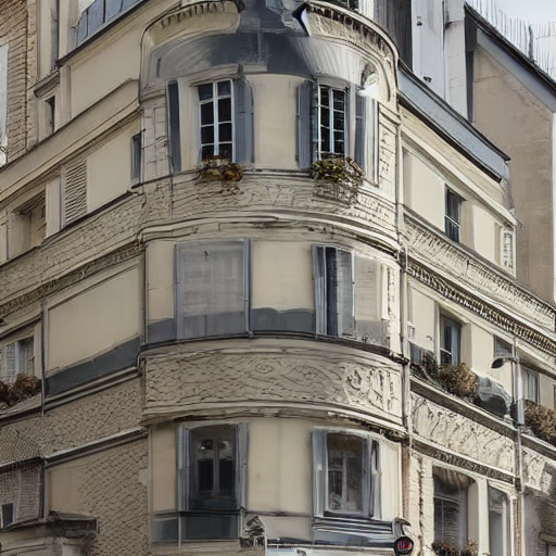
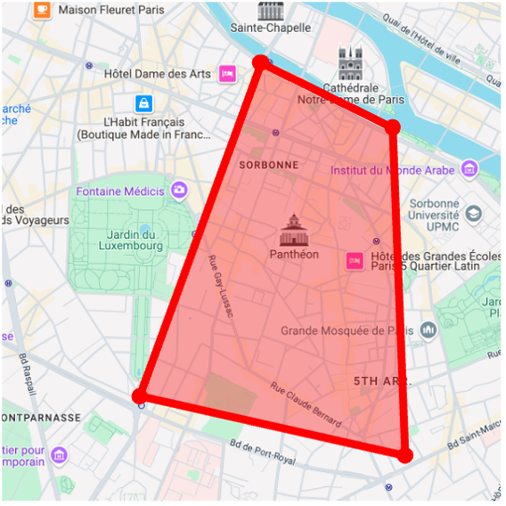
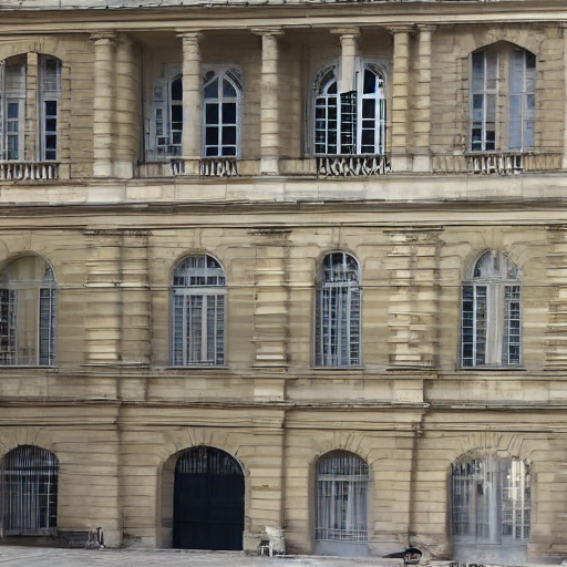
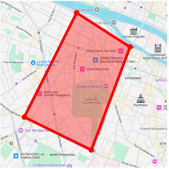
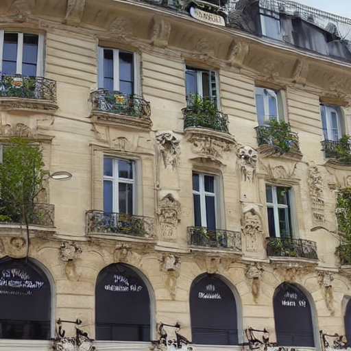
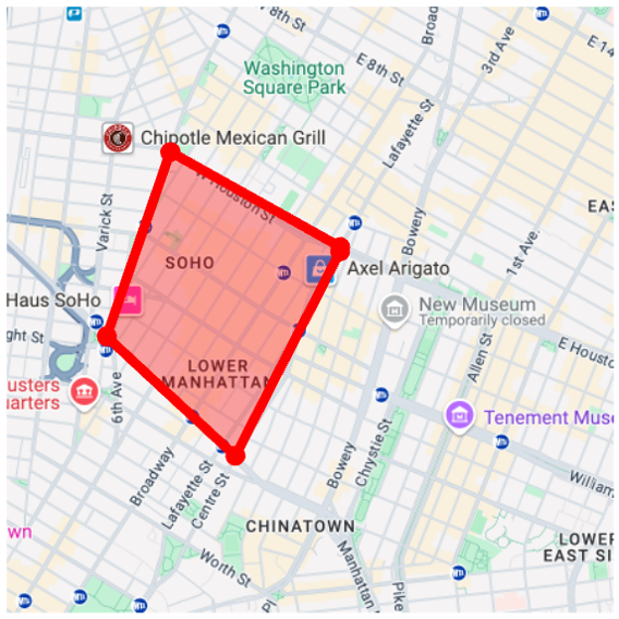
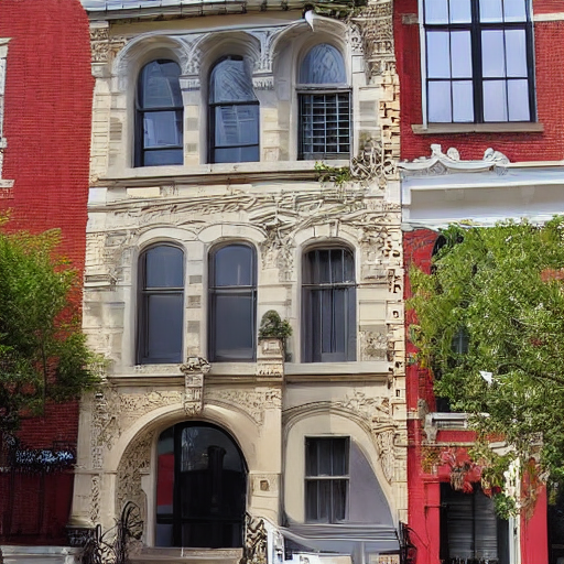
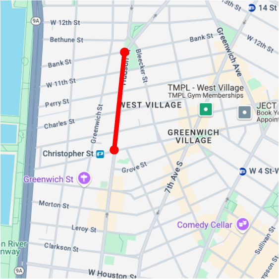
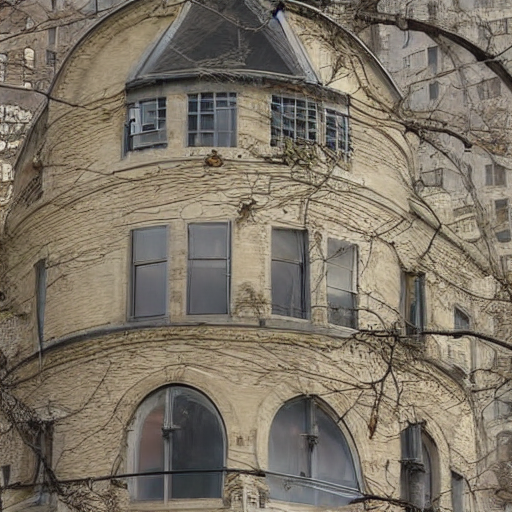
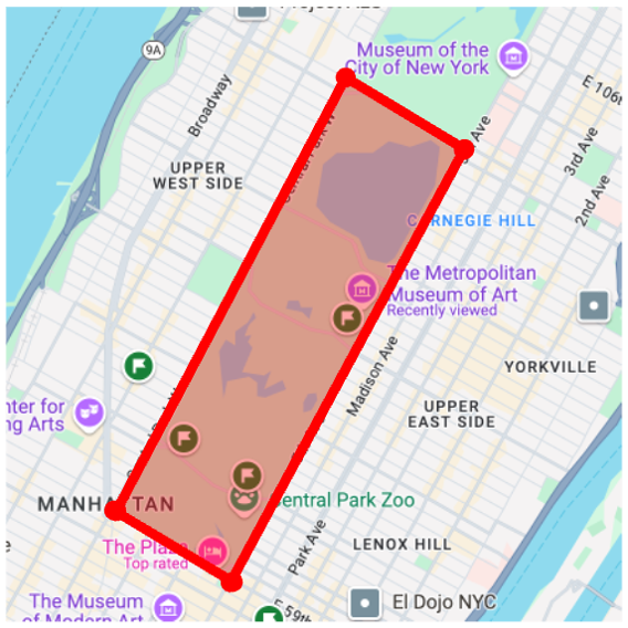
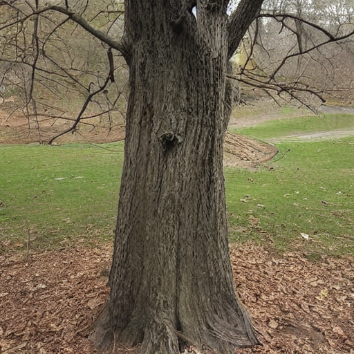
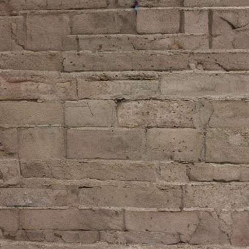
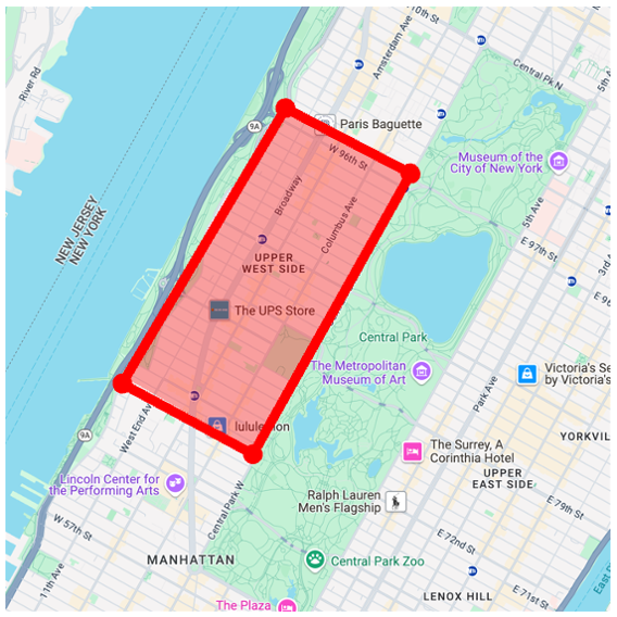
We apply our GPS-to-image models to the problem of obtaining images that are representative of a given concept over a large geographic area. Specifically, we generate a single image that has high probability under all GPS locations within a user-specified area, as measured by our diffusion model. To do this, following work on compositional generation , we simultaneously estimate noise vectors for a large number of evenly sampled GPS locations and average them during each step of the reverse diffusion process.
building
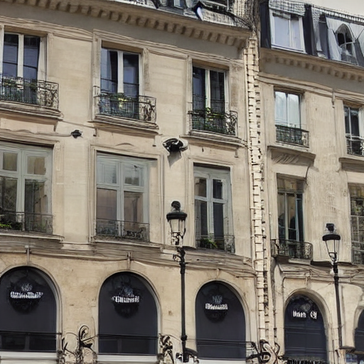
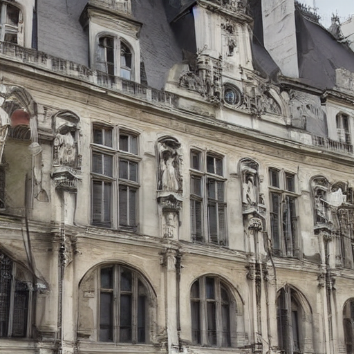
Average Image
Map View
street view
Average Image
Map View
building
Average Image
Map View
building
Average Image
Map View
building
Average Image
Map View
building
Average Image
Map View
building
Average Image
Map View
building
Average Image
Map View
building
Average Image
Map View
building
Average Image
Map View
building
Average Image

Map View
tree
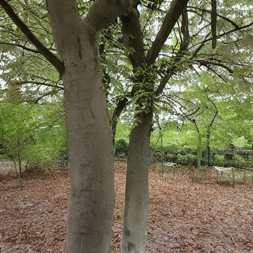
Average Image
Map View
bricks
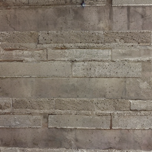
Average Image
Map View
building
Average Image
Map View
building
Average Image
Map View
building

Average Image
Map View
building
Average Image
Map View
building
Average Image
Map View
tree
Average Image
Map View
bricks
Average Image
Map View
All images are from the same initial random noise.
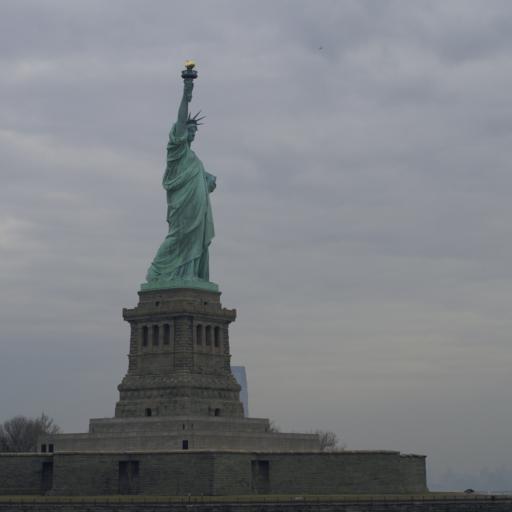
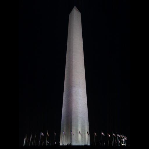
Through score distillation sampling from our angle-to-image diffusion models trained on unordered collections of geo-tagged photos, we can obtain better 3D models for scenes compared to models that use only text conditioning.
                @article{feng2025gps,

                  author = {Feng, Chao and Chen, Ziyang and Holynski, Aleksander and Efros, Alexei A and Owens, Andrew},

                  title  = {GPS as a Control Signal for Image Generation},

                  year   = {2025},

                }